
MAP INTEGRATIONS Geospatial Intelligence
Transform raw geospatial data into enterprise-grade insights. Precision GIS solutions, 3D modeling, and AI-driven analytics for infrastructure, planning & growth.
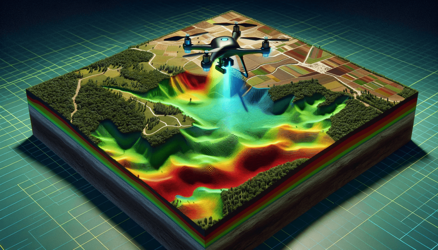
At Map Integrations, we specialize in transforming complex spatial data into actionable insights and streamlined engineering solutions. Since 2010, we have been delivering innovative GIS services across Pakistan and the Middle East.
Our team of skilled geospatial analysts, engineers, and developers harnesses cutting-edge technology to provide precise Mapping, 3D modeling, and AI-driven data analysis.
We enable organizations to make data-driven decisions, optimize infrastructure planning, and improve operational efficiency at scale.
From discovery to deployment — a proven process that delivers precision and speed.
Understand goals, data requirements, and project scope.
Satellite imagery, field surveys, LiDAR, and IoT feeds.
Spatial analysis, AI extraction, and modeling.
Web apps, dashboards, APIs, and enterprise systems.
Ongoing maintenance, training, and scaling.
End-to-end geospatial capabilities — from raw imagery to enterprise-ready platforms.

Monitor urban growth, land use, crop health, and site suitability using high-resolution satellite data.
Generate precise terrain models and 3D city models for infrastructure, aviation, and flood planning.
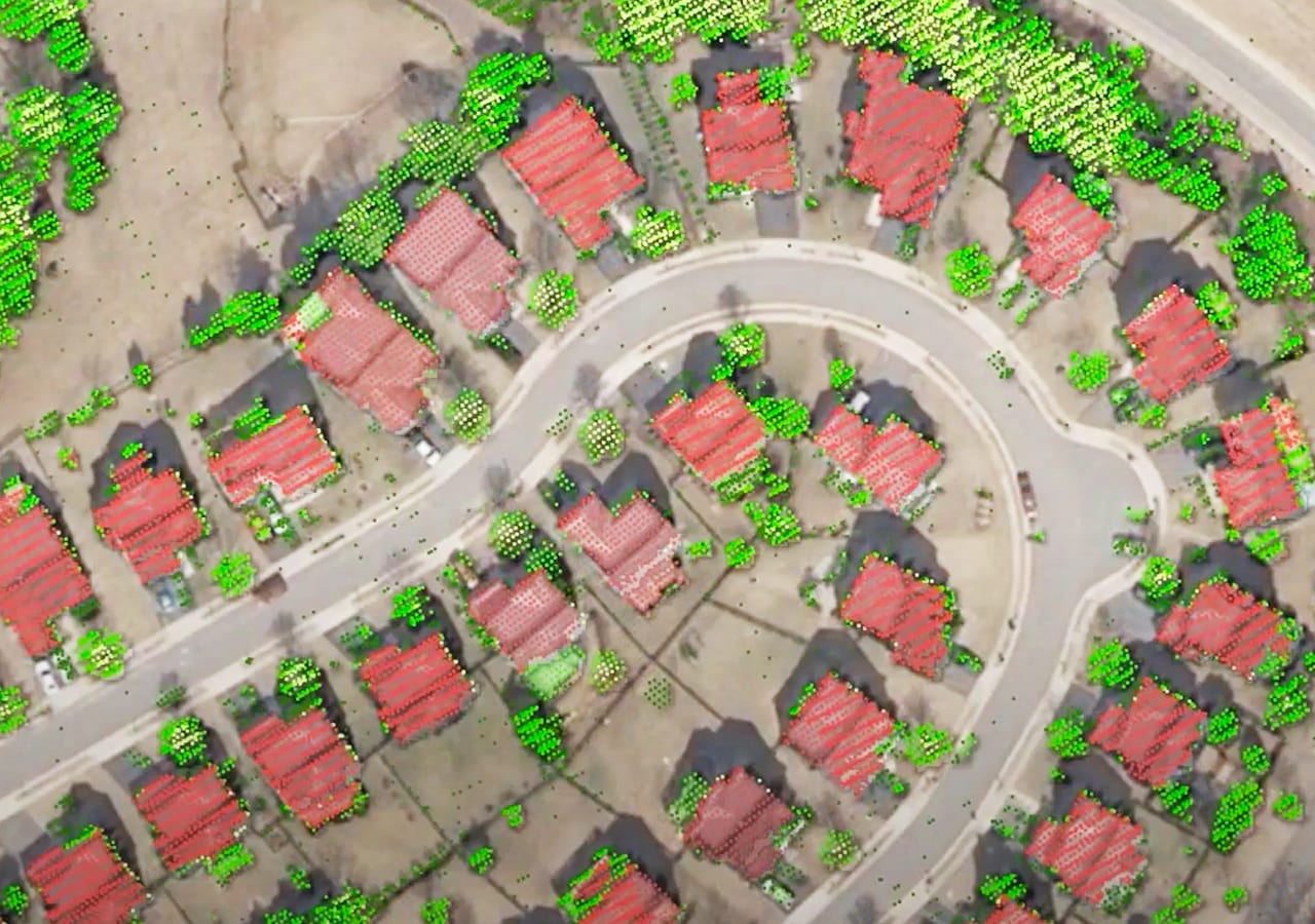
Detect buildings, roads, vegetation, and risks automatically using deep learning and computer vision.
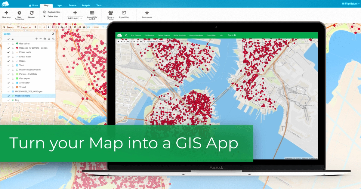
Custom interactive web portals, dashboards, and APIs for real-time spatial data access anywhere.
End-to-end fiber optic network planning — from HLD blueprints to LLD execution-ready designs.

Map, track, and maintain water, electricity, telecom, and gas networks with live GIS monitoring.
Field teams deployable across Pakistan, UAE, KSA, Qatar, Oman, and beyond.
Certified GIS analysts, remote sensing engineers, and full-stack GIS developers.
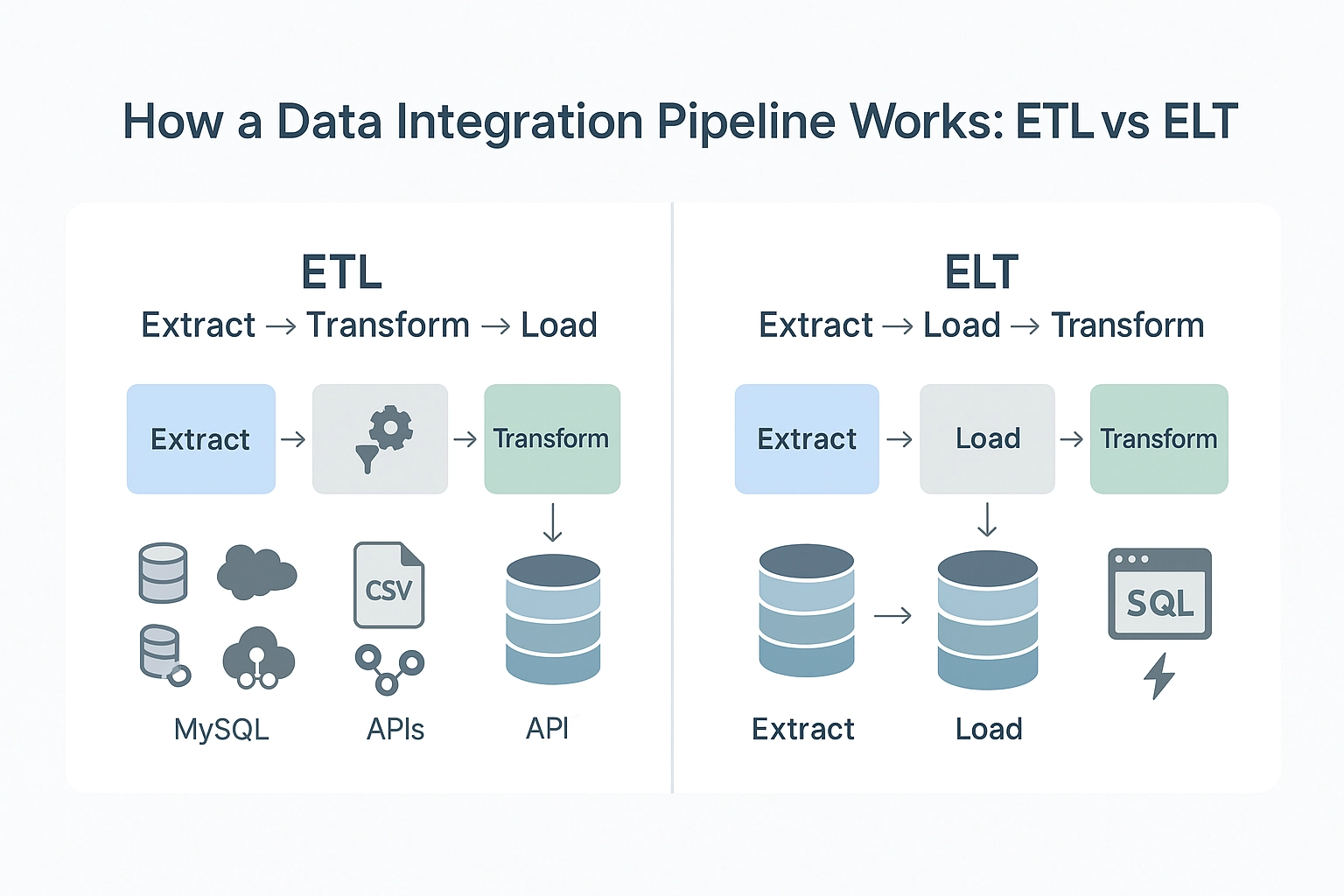
Agile workflows and automated pipelines that reduce project timelines dramatically.
Enterprise-grade data security, versioning, and access control across all projects.
Full ESRI suite — ArcGIS Pro, Enterprise, Online, Field Maps, and custom StoryMaps.
QGIS, GeoServer, PostGIS, Django, Leaflet, OpenLayers — cost-effective and scalable.
AWS, Azure, and on-premise GIS infrastructure tailored to your security requirements.
Deep learning models for feature extraction, change detection, and predictive analytics.
Trusted Across Industries & Regions
Let's discuss your project. Our GIS experts are ready to deliver measurable results for your organization.